Maps
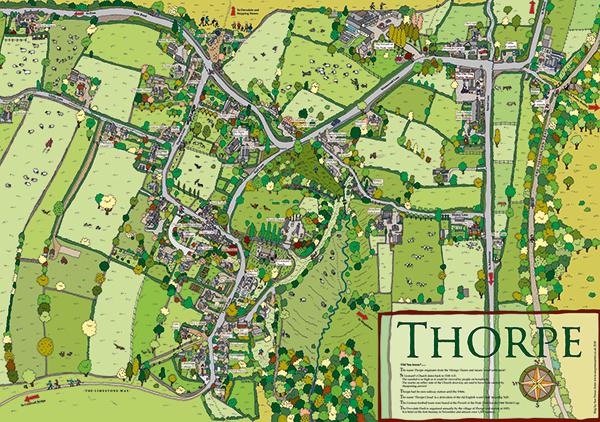
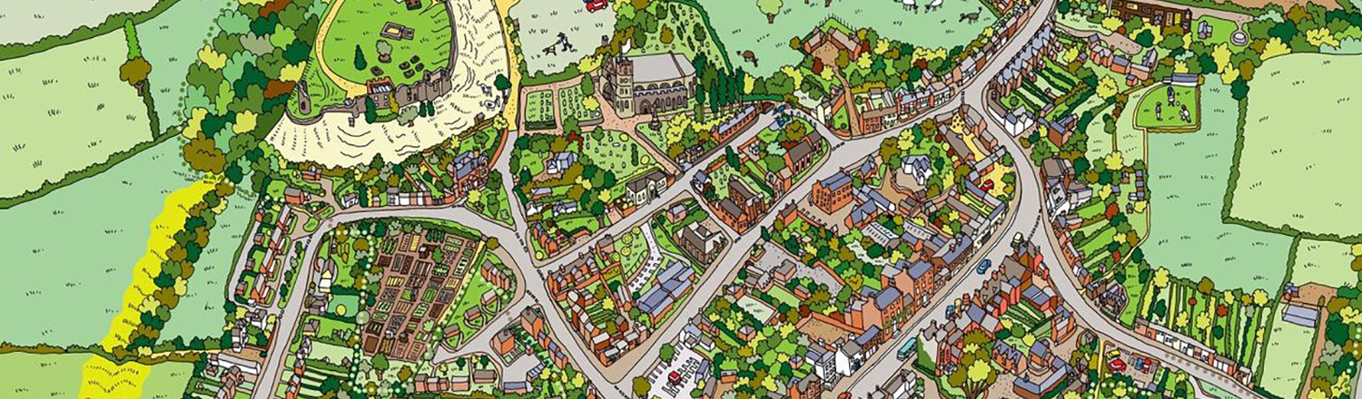
Bird’s-eye-view maps, the process:
- First study maps to understand the skeleton of the place
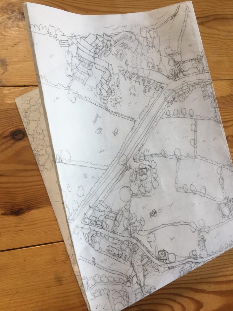
- Sketch the rough map at about A1 size with pencil on card
- Walk and draw the town, taking lots of photos, noticing roof colours, odd features
- Complete the pencil sketch and get copies made
- Invite commissioners of the map to check for accuracy, adding and amending where necessary
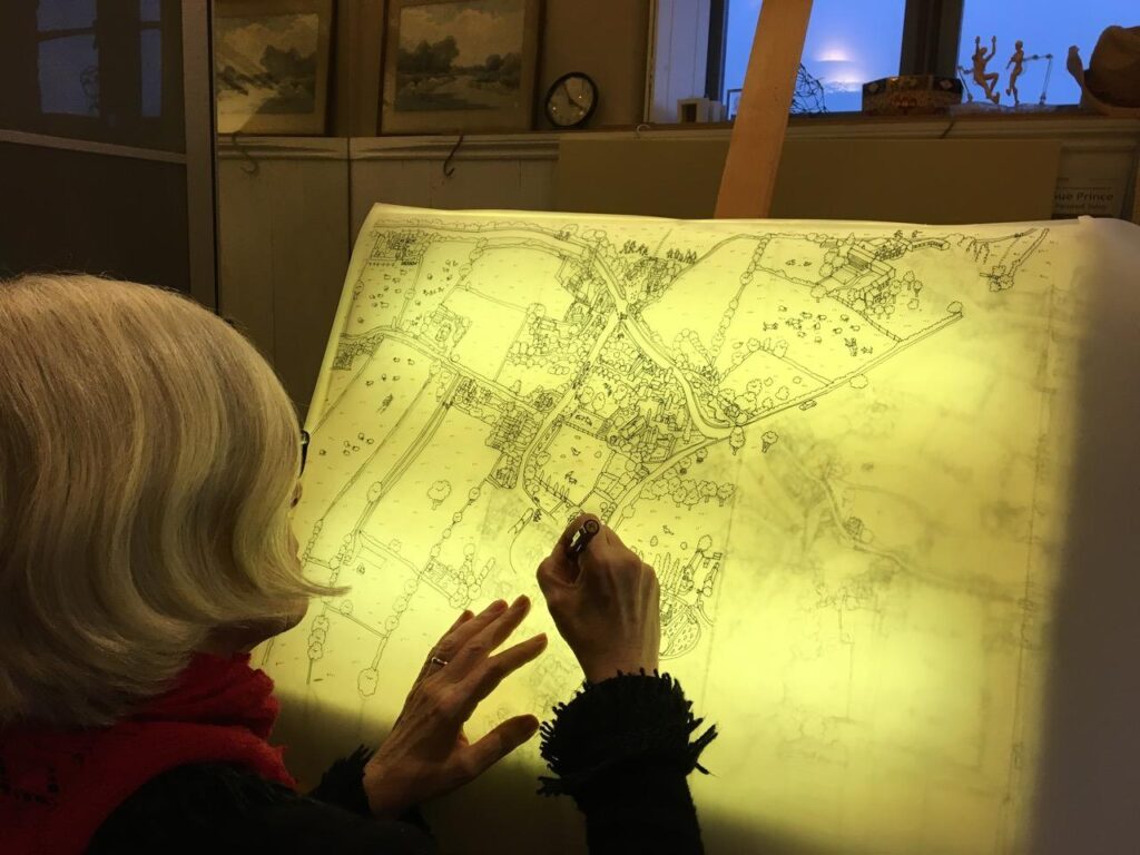
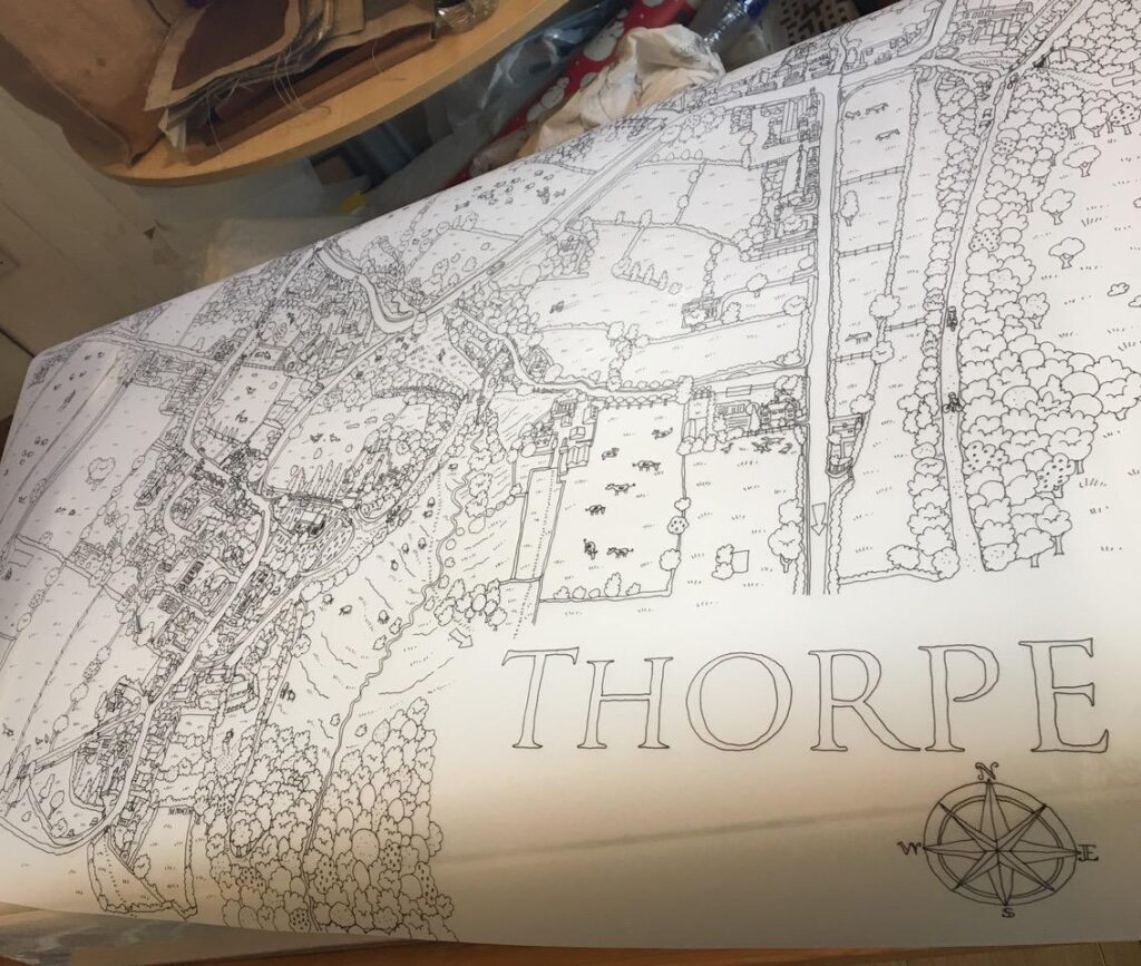
- Trace the sketch onto drawing film using Rotring Rapidoliners and black ink
- Scan the drawing to create a digital file
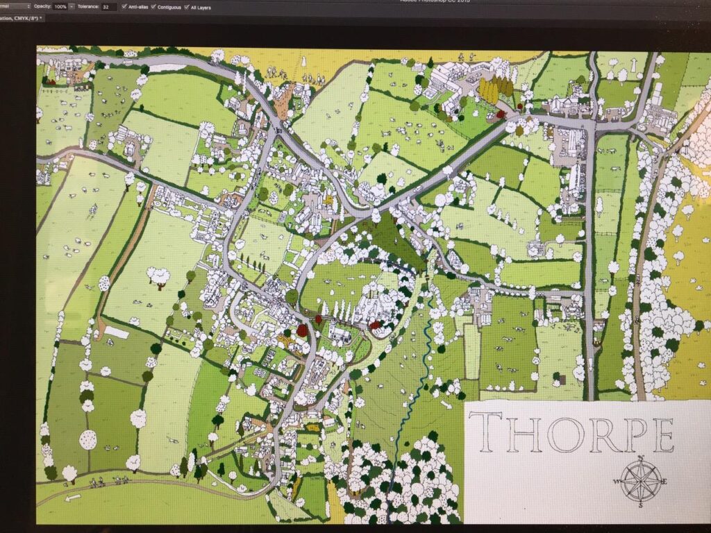
- Colour the picture in Photoshop